Overview
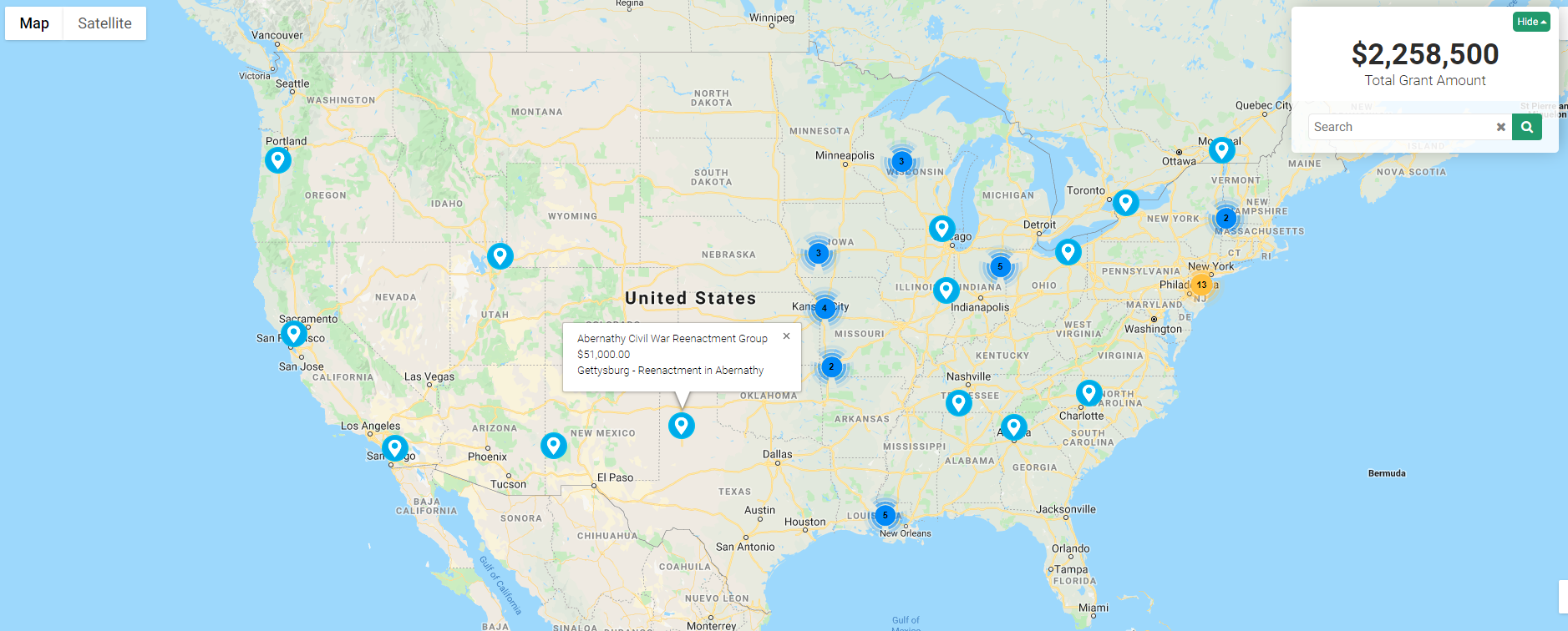
The Impact Map is a feature that facilitates the visualization of records from a UTA within a mapping interface, thereby illustrating locations derived from the UTA records.
This feature provides a unique method for data visualization through geomapping functionality, which is commonly employed to depict the locations of grant impacts.
To configure an Impact Map, it is imperative to have administrator access to the UTA that will be utilized for generating the locations on the map.
Sample Impact Map Display.
Configuration - Essentials
- Select the UTA with which the map will be associated, based on the types of records you wish to display on the map.
- An Impact Map can be constructed utilizing either Level 1 or Level 2 records within the UTA.
- Level 1 records will be represented on the Impact Map using the location of the organization (standard field: client) associated with the record.
- Level 2 records may be represented on the Impact Map using a unique address defined through Geocode.
